We at Space Applications and Environmental Science Laboratory are here to equip students and
researchers with requisite skills in the applications of Remote Sensing and Geographic Information System (RS and GIS) required for diverse and/or complex environmental analysis.
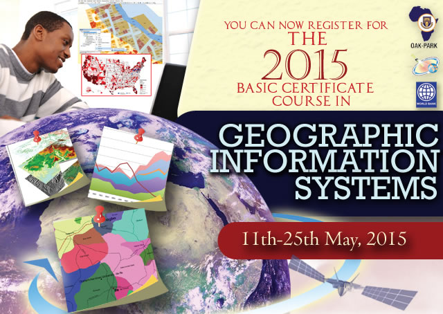
Basic Certificate Course

The basic certificate course is designed to focus on the basic
concept of Remote Sensing (RS) and Geographic Information System (GIS).
The programme is designed to provide a landing platform for new users in
the field of GIS. The programme will effectively address the basic
introduction to Geographic Information System, GIS Softwares, Primitive
Spatial Analysis, Spatial Data Models and Map Design.
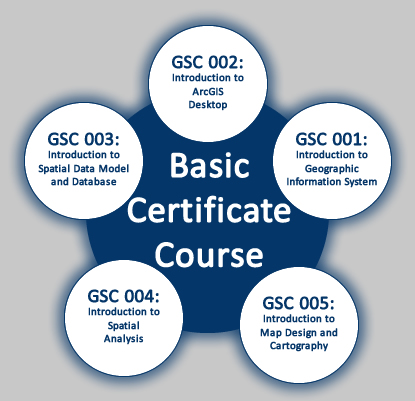
Course Modules
Read also Job vacancies in Nigeria today 12th May,2015
Course Modules
Read also Job vacancies in Nigeria today 12th May,2015
- GSC 001: Introduction to Geographic Information System
- GSC 002: Introduction to ArcGIS Desktop
- GSC 003: Introduction to Spatial Data Model and Database
- GSC 004: Introduction to Spatial Analysis
- GSC 005: Introduction to Map Design and Cartography
- Read also: PTI 2015/2016 APPLICATION FORM
- Read also :Nepal earthquake, magnitude 7.3, strikes near Everest

‘Anyone who stops learning is old, whether at twenty or eighty’
(Henry Ford)
Comments
Post a Comment